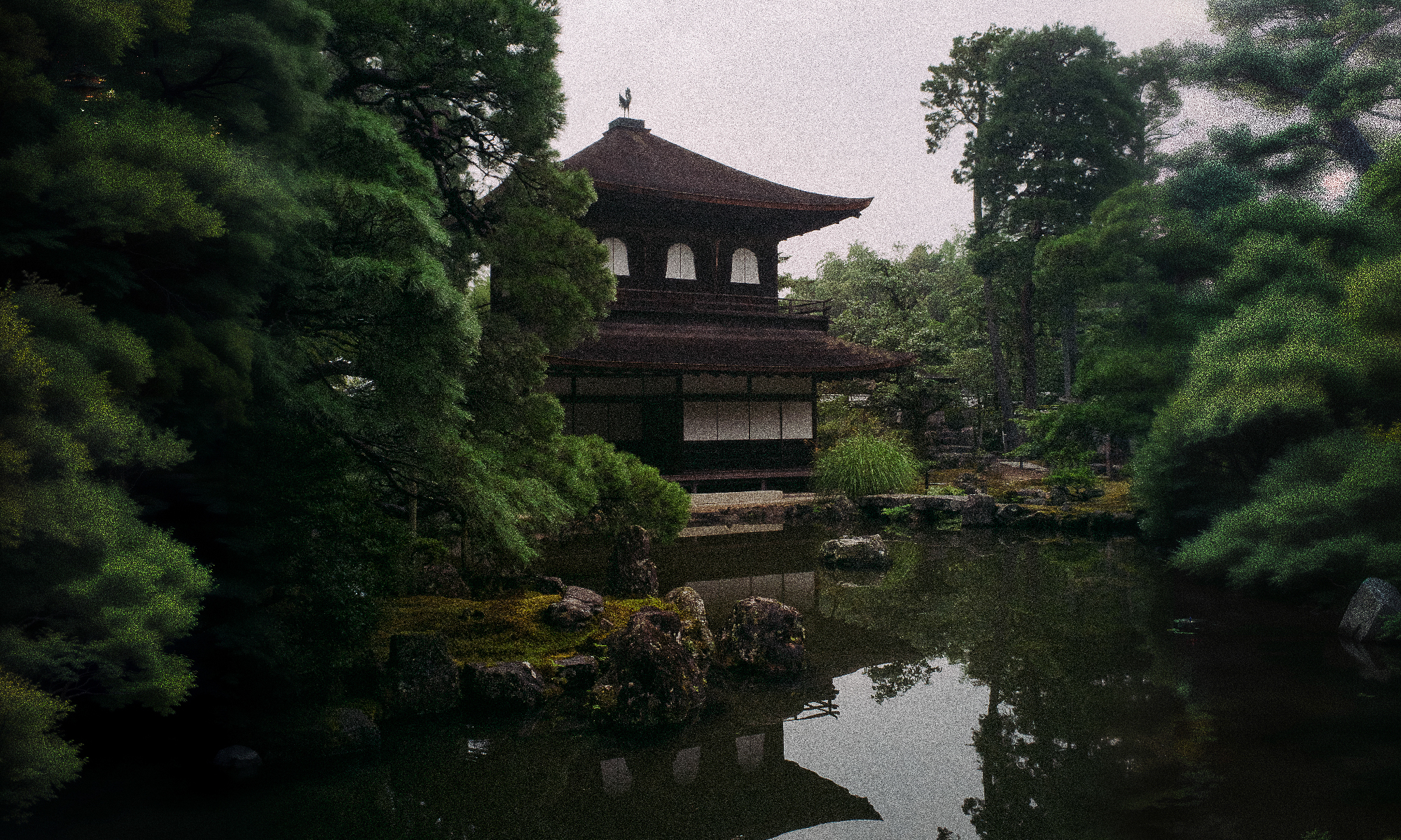
During my latest trip to Japan I decided to make a small photo-project based on infrared pictures of brutalist buildings around Tōkyō. I previously did much research on which buildings to photograph, and Blue Crow’s map really helped me. I ended up drawing a sketch map of the route I would have taken, to understand whether it would have been possible to make it in just one day – also considering that I would have been able to make it only during the first few days in Kyōto, since they were more relaxed. Luckily I managed to plan a round trip around the city starting from outside the Tōkyō station and ending a few train stops from it, and taking the shinkansen back in the evening proved to be easy.
Continue reading “How I walked around Tōkyō (twice) for unusual pictures.”

